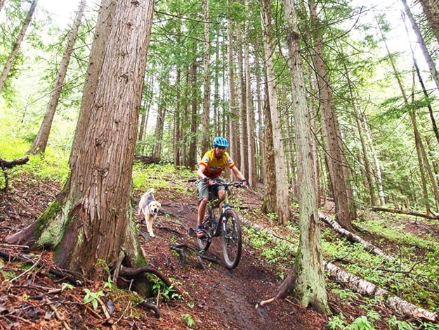
Revelstoke is a city full of trails. Whether it’s through the Illecillewaet Greenbelt, around CPR Hill, around Arrow Heights or in the Big Eddy, there’s pathways everywhere that people make use of every day.
Now, the City of Revelstoke is hoping to find out which trails people are using as part of the trail strategy it is developing. They are asking people to use Strava to track their daily commutes, rides, runs and walks so it can know what trails are being used and how often.
“I think that’s really going to help us figure out where people are riding and really improve on the trails people are using, then identify them in a map so we’re not guessing where people are riding,” said Laurie Donato, the City of Revelstoke’s director of parks, recreation and culture.
The city has budgeted $25,000 this year to create a master plan for its trails and has selected Selkirk Planning & Design to carry out the work. The planning will include stakeholder meetings, a public open house and online questionnaires.
A big part is figuring out what trails are being used out of the myriad of pathways in town.
They will be acquiring data from Strava that shows where people that use the app are riding. Donato said the city was told more than 1,000 people use the app in the Revelstoke area. Part of the challenge will be getting people to use the app for their commutes around town, and not just their mountain bike or road rides, or trail runs.
“Were encouraging people to use this software program, and if they’re not using it, to get their information downloaded into this program,” said Donato.
How will the data be used? Donato said the city will use the information to “ground-truth” where people are riding. They hope to determine which trails are most popular, which are used the least, which might have safety hazards and more.
“It saves us from sending out consultants to verify that these are trails people actually use because the data’s there already,” she said.
Once the data is collected, they will match it up with the city’s maps to determine the location of all the trails. They will be able to see which trails are on city property, and which go through private property. It will allow them to approach private property owners about legitimizing the trails through their land.
The city will also be collecting data for the Mount Macpherson network that they will give to the Revelstoke Cycling Association to help them with trail planning.