Part one of two regarding the bicentennial of David Thompson’s visit to our region
David Thompson could be the world’s most accomplished geographer having mapped more ground than anyone else. Included in his extensive travels is the first record of a European to pass by the Revelstoke area on September 12, 1811. The Revelstoke Museum and Archives will commemorate this bicentennial with displays and events this summer.
While working in the fur trade, he surveyed the area between Hudson Bay and the Pacific Ocean, walking and paddling over 100,000 kilometres over a 28-year period. His travelling gear consisted of a tarp, a blanket, an iron pot, a knife, a hatchet and leather moccasins for footwear. He built his own boats, snowshoes, and sleds, hunted most of his own food, provided his own health care, and never lost a man in his employ.
He was apprenticed to the Hudson Bay Company in 1784 at the age of fourteen. Living on the frozen shore of Hudson Bay, he had time to pursue his interest in nature, spending most of his time hunting and exploring with native people. A broken femur at age eighteen laid him up for a winter, fortunately at a trading post with a surveyor willing to teach him the skill. Thompson enjoyed the trigonometry and astronomical observations required for surveying and he pushed his employers to send him to the farthest reaches of the fur trade. What he really wanted to be was an explorer.
Thompson’s journals reveal a person who respected the native way of life, until it was undermined by the effects of alcohol, something he refused to trade in. He spoke Chipewyan, Mandan, Piegan, and Kootenay, and compiled native language dictionaries. He was often assisted in his business by his half Cree wife Charlotte. They had thirteen children and were married for sixty years.
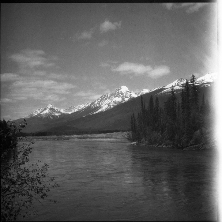
His most significant exploration was the mapping of the convoluted course of the Columbia and Kootenay rivers, in search of a practical route to the Pacific Ocean. Setting out from Rocky Mountain House in 1807, Thompson knew from Captain Vancouver’s coastal survey of 1793 that the Columbia River entered the Pacific well to the south. Over the next four years he established a series of trading posts on the lower Columbia and its tributaries in what are now the states of Washington, Idaho, and Montana.
Thompson’s network of posts countered the growing American presence on the lower Columbia, who sought to annex an area as far north as Prince George. Despite his lobbying efforts to settle a border with the Americans that would have included his trading areas, the British Foreign Office settled for the continuation of the 49th parallel in 1846.
By 1812 Thompson was settled in the Montreal area and spent the next two years working from his extensive journals crafting a six by ten foot map. The result was the first comprehensive chart of western Canada and the basis of all other maps for the next 75 years. He lived to age 87 but his achievements were not recognized during his lifetime.