Forecast from Environment Canada:
Winter Storm Warning in Effect for Revelstoke
Today: Rain ending early this afternoon then cloudy. Snow level near valley bottom. Wind becoming northwest 20 km/h this afternoon. High plus 2.
Tonight: Cloudy. Becoming partly cloudy near midnight. Fog patches developing after midnight. Wind northwest 20 km/h becoming light this evening. Low minus 3.
Tomorrow: Mainly sunny. Increasing cloudiness late in the afternoon. Fog patches dissipating late in the morning. High minus 1. UV index 1 or low.
For more information see Environment Canada.
Construction and road conditions from DriveBC @ 8:30 am:
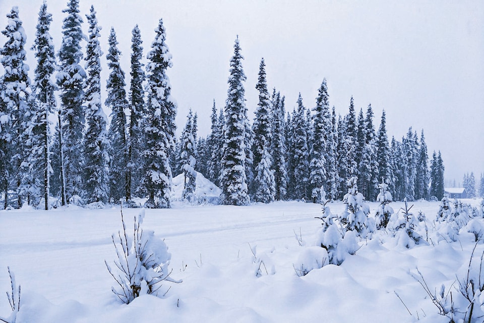
Hazardous winter conditions are expected for Revelstoke
Highway 1
East to Golden: Avalanche control work planned between Rogers Pass Summit and Beaver Valley Rd for 11.1 km (Rogers Pass Summit). Starting at 9:00 a.m. until 4:00 p.m. Expect closures of up to two hours. No detour is available.
Winter driving conditions. Slushy and compact snow.
West to Sicamous: Limited visibility with fog.
Highway 23
North: Slippery sections. Compact snow.
South: Slippery sections. Compact snow.
For more information see DriveBC.
Revelstoke Mountain Resort Snow Report @ 8:30 am:
New snow: 10 cm
Base depth: 110 cm
Temp on top of the Ripper: -2C
Avalanche Report from Parks Canada for Glacier National Park:
Issued Tuesday
“A natural avalanche cycle will peak this afternoon as strong winds trigger storm slabs!.”
Alpine: High
Treeline: Considerable
Below treeline: Considerable
For more information visit Parks Canada