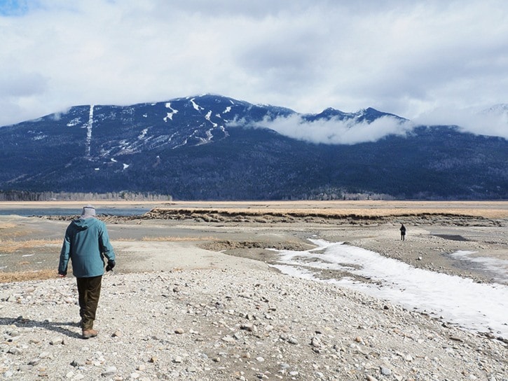
The winter of 2014-15 will go down as one of the warmest ever in Revelstoke, with monthly temperatures well above average.
"What really stands out is the temperature," said Doug Lundquist, a meteorologist with Environment Canada.
The average daily temperature in December was -2.2 C, compared to the historical average of -3.6 C.
In January, the average temperature this year was -1.7 C, compared to the historical norm of -3.5 C. In February, the average temperature was 0.9 C — almost three degrees warmer than usual.
In March, the average temperature of 4 C was 1.5 degrees warmer than usual. The high never dropped below freezing, and the average daily temperature was above zero for all but four days, and not once after Mar. 5.
In terms of precipitation, the winter was drier than normal — particularly in December and January. In December, only 67.9 mm of precipitation fell, compared to the average of 103.7 mm. As well, there were only 14 days with rain or snow, compared to a historical average of 17.9 mm.
January was wetter that December, but still relatively dry, with 84.2 mm of rain, compared to the average of 107.9 mm. It only rained or snowed on 13 days, compared to the average of 19 wet days.
February and March were as moist as usual, but were also marked by an extended dry spell that stretched from Feb. 15 to Mar. 11. More than half of February's precipitation fell on Feb. 5–6.
The first half of winter was marked by a series of warm, wet systems that brought rain and snow and rising temperatures to the B.C. Interior. The second half of the winter was marked by the long dry spell, that lasted until well into March.
Lundquist said the weather was the result of warm water that settled off the Pacfic Coast of North America. He said it wasn't El Nino, but instead may have been the result of a phenomenon known as the Pacific Decadal Oscillations, though he added the PDO needs more study before it can be truly considered a fact.
The warm weather is likely to continue as an El Nino pattern develops, said Lundquist. "The warm water is still there so that says something for the coming season," he said. "We're likely to be warmer than average."