It’s been 50 years since the two Arrow Lakes joined and became one long reservoir.
The Hugh Keenleyside Dam was built in 1968 as part of flood control measures set in the Columbia River Treaty. The dam spans across the Columbia River, 12 km upstream from Castlegar.
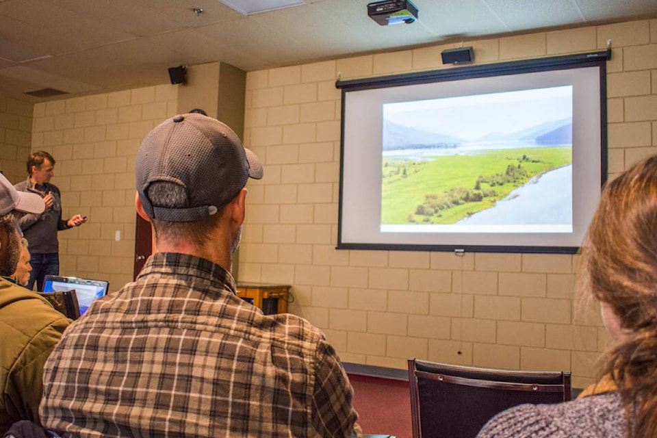
Approximately 30 people attended the second CRED Talk last Wednesday. The talk focused on 50 years of habitat change in the Revelstoke Reach.
READ MORE: ‘Every forest tells a story’: CRED Talks return to Revelstoke
Prior to inundation of roughly 200 km in length, the valley bottom was a matrix of riparian habitat and agriculture.
“There were significant changes after the dam was built,” says Ryan Gill, wildlife biologist. Gill gave a presentation entitled 50 years of habitat change in the Revelstoke Reach.
“The river channel hasn’t changed much, but the vegetation has greatly.”
The long valley upstream of the dam was once home to agricultural land. The dam flooded farms, towns and villages, such as Beaton, Old Beaton, Arrow Park, Arrowhead, Comaplix and Renata. The decision to construct the dam displaced more than 2,000 people. Archaeological sites of the Arrow Lake Indians were also destroyed.
However, the area inundated became unique. After damming, large dust storms occurred that were caused by wind erosion when the reservoir was at low levels.
“It was a moonscape,” says Gills.
“The dust storms were horrendous.”
To help, B.C. Hydro re-vegetated areas of the reservoir in later years by planting canary grass. As a result, instead of having low productivity, such as along the shores of Kinbasket Lake, there are areas within Arrow Lakes with high productivity and rich bird habitat.
Though his presentation, some ecological changes that Gills noted included: forest cover, grasslands, wetlands, and gravel beds.
Not surprisingly, the area inundated historically had significant forest cover at 3118 hectares. Today, there’s 90 per cent less forest at 338 ha. Another change was an increase in grassland habitat from 718 ha to 2000 ha.
“However, grasslands are not native to this area. They are from post agriculture settlement in the 1800s,” says Gills.
The land cleared for farming brought in grassland birds, such as the western meadow larks.
Wetland coverage increased from 62 ha to 393 ha. However, Gills noted that wetlands may have been drained in the valley for farming.
Another significant change was gravel bars vanished.
“We don’t have any left.”
Gills says when the reservoir is at high levels, there are difficulties with silt and sediment, which could be problematic for fish.
“I think this might be something we have to overcome if salmon ever return.”
Regardless, the reservoir is important habitat for birds. For example, the area surrounding the Revelstoke airport is rich in biodiversity and can have lots of nests.
“Some guy in a bulldozer created this amazing wetland,” says Gill.
One difficulty with the reservoir is that it highly fluctuates between high and low water levels by almost 20 metres from 438 metres to 426 metres.
This fluctuation can cause problems with future habitat restoration in the Revelstoke Reach as it can be difficult in providing habitat for wildlife to settle, nest, and raise young. Because if that same habitat is periodically flooded, the settled wildlife could die.
The flood zone can be “an ecological trap” says Gills.
Possible futures for the reservoir include trying to keep water levels more stable and with less variation. This could improve habitat for wildlife, increase cottonwoods and shrubs.
Gills also noted that there has been no study of mammals in Revelstoke Reach.
“That is something we should study better.”
CRED Talks are organized by the Columbia Mountains Institute of Applied Ecology. CRED stands for Columbia Region Ecological Discussions and the event is sponsored by Revelstoke Credit Union. This is the third season of the talks. The next CRED Talk is scheduled Jan. 9 and is entitled Keeping Toads off Roads: Western toad ecology and Hwy 31A at Fish & Bear Lakes. Check the Columbia Mountains Institute of Applied Ecology for more information and details on upcoming presentations: http://cmiae.org/event/cred-talks-columbia-region-ecological-discussions/