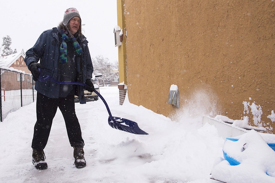
Shuswap residents better break out the snow shovels again.
As of Sunday morning, Feb. 4, there is currently a snowfall warning in effect for the Shuswap.
Total amounts of 15 to 20 cm of snow is expected through the day.
“A Pacific frontal system will make its way through the B.C. interior today resulting in widespread snow. Generally near 15 cm is expected however locally higher amounts are possible.The snow will begin this morning and will ease this evening,” says the Environment Canada weather statement.
Some snow and rain is expected in the Okanagan region today, but no snowfall warning is in effect for those areas.
Kelowna can expect snow changing to rain this afternoon. Snowfall amount will be approximately 5 cm. The high is plus 2C.
In Vernon there will be periods of snow changing to rain this afternoon.
Penticton will see periods of rain mixed with light snow early this morning. Then rain for much of the day the high will be 5C.
Environment Canada warns drivers to be prepared to adjust your driving with changing road conditions. Rapidly accumulating snow in the Shuswap could make travel difficult over some locations.