Snow is on the way and according to Environment Canada Meteorologist Doug Lundquist it’s not going to be a lot of fun, unless of course you are a winter enthusiast.
According to Environment Canada, snow is anticipated to begin this evening, with 10 cm of snow expected for Central Okanagan communities, Sicamous, and Grand Forks. The rest of the Okanagan should see snowfall accumulations near 5 cm.
“All of the high terrains around Kelowna will get heavy amounts of snow here over the next 48 hours,” said Lundquist.
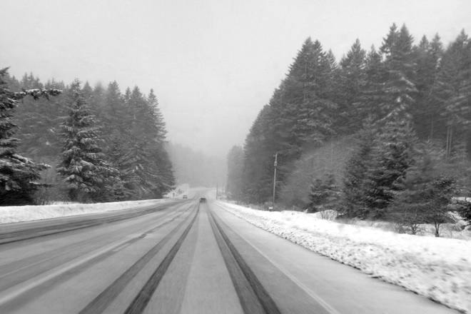
The roads leaving the Okanagan are looking worse. On the Okanagan Connector, 15 to 25 cm of snow is expected and 30 to 60 cm is expected on the Coquihalla and parts of Roger’s Pass.
Lundquist said those with travel plans today need to leave “now” or risk some pretty shoddy conditions.
“No matter what direction you’re going, there’s something to be looking at,” he said.
“If people need to travel, it’s almost too late — they need to go right now. By the middle of the evening, the snow is going to start.”
Once the snow does start, Lundquist said drivers need to pay close attention to DriveBC to monitor road conditions. He added that the next break in the snow is likely to be Saturday afternoon, so it may be best to put off travel plans until later in the weekend.
Lundquist, also looking on the bright side of things, said this is great news for the ski hills.
“It’s like a dream come true for Big White, right?”
READ MORE: Environment Canada issues snowfall warning and highway alerts across Okanagan
@michaelrdrguez
michael.rodriguez@kelownacapnews.com
Like us on Facebook and follow us on Twit0ter.