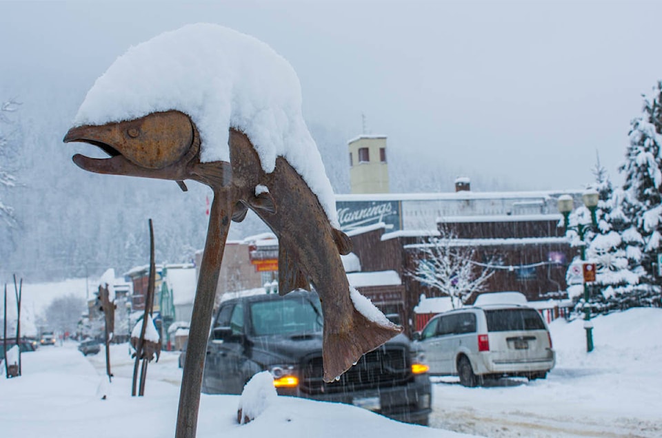
Forecast from Environment Canada:
Snowfall warning up to 20 cm expected by Wednesday morning
Today: Cloudy. Snow beginning this morning. Amount 5 cm. Wind becoming south 40 km/h gusting to 60 early this afternoon. High plus 2. UV index 1 or low.
Tonight: Snow changing to rain mixed with snow this evening then to snow at times heavy overnight. Local snowfall amount 10 cm. Wind south 40 km/h gusting to 60 diminishing to 20 gusting to 40 this evening then becoming north 20 gusting to 50 overnight. Low zero.
Tomorrow: Snow at times heavy ending in the morning then a mix of sun and cloud. Wind north 20 km/h gusting to 50 becoming light near noon. High plus 5. UV index 3 or moderate.
For more information see Environment Canada.
Construction and road conditions from DriveBC @ 7:30 am:
Highway 1
East to Golden: Slippery sections.
West to Sicamous: Limited visibility with snow. Slippery sections.
Highway 23
North: Slippery sections.
South: Slippery sections.
For more information see DriveBC.
Revelstoke Mountain Resort Snow Report @ 7:30 am:
New snow: 1 cm
Base depth: 256 cm
Season total: 958 cm
Temp on top of the Ripper: -10C
Insta
Avalanche Report from Parks Canada for Glacier National Park:
Issued Tuesday
“Avalanche hazard will increase throughout the day with the help of new snow and strong winds. The February 22nd surface hoar remains reactive to skier triggers.”
Alpine: Considerable
Treeline: Considerable
Below treeline: Moderate
For more information visit Parks Canada
Avalanche Report from Avalanche Canada for South Columbias:
Issued Monday
“Fresh snow and wind may build touchy slabs on Tuesday. Anticipate changing conditions and dial back terrain where more than 20 cm accumulates. A buried weak layer warrants a conservative mindset and terrain use strategy.”
Alpine: Considerable
Treeline: Considerable
Below treeline: Moderate
For more information visit Avalanche Canada
Avalanche Report from Avalanche Canada for North Columbias:
Issued Monday
“Fresh snow and wind may build touchy slabs on Tuesday. Anticipate changing conditions and dial back terrain where more than 20 cm accumulates. A buried weak layer warrants a conservative mindset and terrain use strategy.”
Alpine: Considerable
Treeline: Considerable
Below treeline: Moderate
For more information visit Avalanche Canada
