Conditions from DriveBC at 9:05 a.m.:
Trans Canada east to Golden: Compact snow between Perry River Bridge and Glacier National Park West Boundary.
Blowing snow between Glacier National Park West Boundary and Quartz Creek Bridge.
Trans Canada west to Sicamous: Speed reduced to 80 km/h. Compact snow between Perry River Bridge and Glacier National Park West Boundary.
Watch for slippery sections between Canoe Beach Dr NE and Perry River Bridge.
Highway 23 north: now deposit removal between Revelstoke Dam Avalanche Gates and 5 Mile Boat Launch. Single lane alternating traffic. Watch for traffic control.
Watch for slippery sections between Highway 1 and End of Route.
Snow deposit removal at Goldstream Rd (54 km south of Mica Dam). Watch for traffic control.
Highway 23 south: Watch for slippery sections. Compact snow.
ridge maintenance between Blanket Creek Bridge and Mulvillehill Creek Bridge. Single lane alternating traffic. Watch for traffic control.
For live updates see DriveBC.
Forecast from Environment Canada:
Today: A few flurries ending late this morning then clearing. Wind becoming northwest 20 km/h gusting to 40 early this afternoon. High zero. Wind chill near minus 8. UV index 1 or low.
Tonight: Clear. Wind northwest 20 km/h gusting to 40 becoming light this evening. Low minus 10. Wind chill near minus 13.
Feb. 4: Increasing cloudiness. Snow beginning late in the morning. Wind up to 15 km/h. High minus 3. Wind chill minus 13 in the morning and minus 7 in the afternoon.
For more information see Environment Canada.
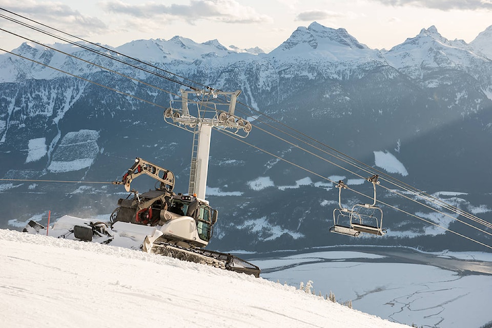
Snow report from Revelstoke Mountain Resort:
4 cm in the last 24 hours.
13 cm in the last 48 hours.
Base depth of 251 cm.
Avalanche forecast:
Glacier National Park-“Remember that there has not been a melt-freeze cycle at higher elevations as you transition into the alpine, stay well back from cornices, and avoid windloaded pockets when entering slopes.”
Alpine and treeline: 2-Moderate
Below treeline: 1-Low
North Columbia and South Columbia-Avalanche hazard exists where the wind has loaded cornices and drifted recent snow into wind slabs. Give cornices a wide berth and assess for wind slab conditions before committing to terrain.
Alpine and treeline: 2-Moderate
Below treeline: 1-Low
For more information see Avalanche Canada.
@RevelstokeRevue
editor@revelstoketimesreview.com
Like us on Facebook and follow us on Twitter.