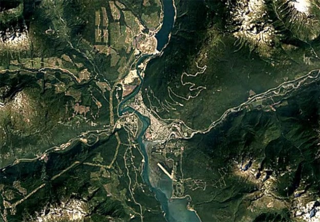
Revelstoke has changed a lot over the last 30 years. How much? Check out this Google Earth timelapse that provides an aerial snapshot of Revelstoke every year since 1984.
The big changes that we noticed:
— The growth of Downie Timber;
— The development of Revelstoke Mountain Resort;
— The expansion of the Westside Road gravel pit;
— Logging on Macpherson, Boulder and Frisby Ridge;
— Construction of the Hillcrest Hotel in Johnson Heights;
— The establishment of the Revelstoke Community Forest Corporation log yard;
— Home construction in Arrow Heights.
Do you see anything of note? Check out the timelapse and let us know.
The images start in 1984, just as construction of the Revelstoke Dam finished, and run until 2016. You can slow down and speed up the timelapse, and zoom in and out and move the map around to check out other areas.
The images were created using cloud-free mosaics of Earth that were made explorable by Carnegie Mellon University’s CREATE Lab.
Google combined more than five million satellite images from the past three decades to create the timelapse.