Forecast from Environment Canada:
Today: Wet snow or rain ending early this afternoon then mainly cloudy with 40 percent chance of rain showers. Snow level rising to 900 metres this afternoon. Snowfall amount 2 cm. High plus 4. UV index 3 or moderate.
Tonight: Mainly cloudy. Wind up to 15 km/h. Low minus 2. Wind chill minus 6 overnight.
Tomorrow: Mainly cloudy. Snow beginning in the morning. Amount 2 to 4 cm. Wind becoming northwest 20 km/h in the afternoon. High plus 2. Wind chill minus 5 in the morning. UV index 1 or low.
For more information see Environment Canada.
Construction and road conditions from DriveBC @ 7:30 am:
Highway 1
East to Golden: Slippery sections.
West to Sicamous: Slippery sections.
Highway 23
North: Slippery sections.
South: Slippery sections.
For more information see DriveBC.
Revelstoke Mountain Resort Snow Report @ 7:30 am:
New snow: 2 cm
Base depth: 259 cm
Season total: 950 cm
Temp on top of the Ripper: -4C
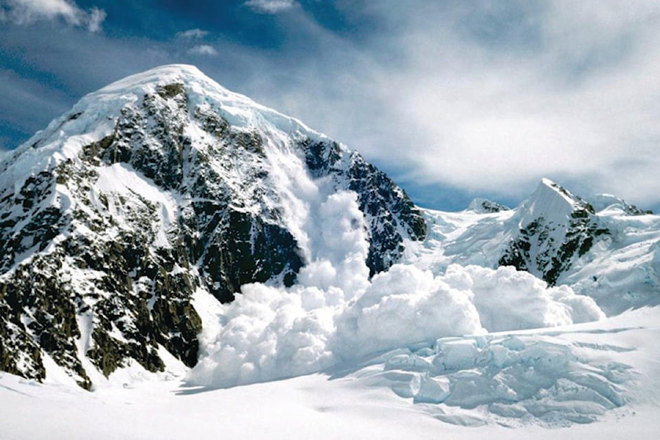
Avalanche Report from Parks Canada for Glacier National Park:
Issued Friday
“The Feb 22 Surface Hoar persistent weak layer (PWL) is becoming a low probability high consequence layer. Conservative route selection is a logical choice.”
Alpine: Considerable
Treeline: Considerable
Below treeline: Moderate
For more information visit Parks Canada
Avalanche Report from Avalanche Canada for South Columbias:
Issued Thursday
“It’s complicated: 1) fresh snow may disguise reactive wind slabs; 2) a widespread, touchy weak layer may just be waiting for a trigger; 3) clearing skies in the afternoon could ramp up reactivity. Avalanches have been large and human triggering remains likely at all elevations.”
Alpine: Considerable
Treeline: Considerable
Below treeline: Considerable
For more information visit Avalanche Canada
Avalanche Report from Avalanche Canada for North Columbias:
Issued Thursday
“It’s complicated: 1) fresh snow may disguise reactive wind slabs; 2) a widespread, touchy weak layer may just be waiting for a trigger; 3) clearing skies in the afternoon could ramp up reactivity. Avalanches have been large and human triggering remains likely at all elevations.”
Alpine: Considerable
Treeline: Considerable
Below treeline: Considerable
For more information visit Avalanche Canada