The heat wave. It's the talk of the town, as often the weather is. How hot is it? Scorchingly hot.
So hot, doing any exercise becomes a feat of endurance.
So hot, you can't even get relief in the shade.
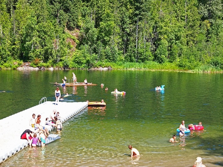
So hot, even Lake Revelstoke is warm enough to comfortably swim in.
So hot, the Aussies feel at home.
But how about some numbers? We spoke to Environment Canada meteorologist Allan Coldwells to get some statistics and find out what's caused the past week's heat wave that has seen temperatures spike above 40 C in parts of the Southern Interior.
First, here are the highs since the start of July:
— July 1: 27.8 C
— July 2: 26.3 C
— July 3: 31.1 C
— July 4: 29.6 C
— July 5: 26.1 C
— July 6: 24 C
— July 7: 26 C
— July 8: 26.4 C
— July 9: 31 C
— July 10: 30.5 C
— July 11: 29 C
— July 12: 27 C
— July 13: 32.4 C
In that stretch there has been a meagre 3.5 millimetres of rain — all on July 6.
How does that compare to the normals and records?
Coldwells said the recent temperatures are six to eight degrees above normal. "It's definitely quite significant."
Still, they're not record-setting. The warmest July 13 ever was in 1945, when the thermometer peaked at 37.2 C. The record for July 12 was also set in 1945. In 1941, the thermometer hit 36.7 C on July 14 and 38.9 on July 15 — temperatures that are not expected to be reached.
However, the temperatures in town are likely closer to the records than the official statistics indicate.
Coldwells said that's because the Revelstoke weather station is located at the airport, surrounded by the cold water of the Columbia River. The temperature it measures is probably a few degrees cooler than it actually is.
"Unfortunately we don't have an official temperature in town," he said.
The cause of the heat wave is a ridge of high pressure that has set up off the coast. A weak system passing through today has provided a bit of relief, but highs are forecasted to be in the 30s on Tuesday and Wednesday.
On Thursday, the high pressure ridge will finally break down and temperatures will drop down to seasonal normals in the mid-20s, and some rain is forecast as well.