You're going out ski touring with friends. You've read the bulletin but now you're wondering — where should we ski?
New research at Simon Fraser University (SFU) hopes to provide more information to recreational backcountry travellers by looking at the practices of professionals.
"We want to better understand how mountain guides choose terrain to mitigate avalanche hazard under different types of conditions," said Pascal Haegeli, the research chair in avalanche risk management at SFU. "We're working with a number of operators to monitor how they assess the conditions, what type of terrain they chose and where they actually ski."
The goal, he said, is to study what professional ski so that recreationalists can have a baseline of what's acceptable terrain given certain avalanche conditions. "The idea is based on that information we can capture their operational expertise around that, and then hopefully extract the rules they use to make these choices," Haegeli said. "Based on that information we hope to eventually develop tools for the amateur recreationalist."
The new research position was launched by SFU in December. The five-year, $1.025 million project was created through a collaboration between the university, Avalanche Canada, the Canadian Avalanche Association, and Heli-Cat Canada. It is being led by Haegeli, an avalanche researcher with more than a decade of experience in the field.
Avalanche Canada is contributing $15,000 per year to the program and is also serving in an advisory capacity.
"The interesting thing about Pascal's program to us is it's a multi-disciplinary program," said Karl Klassen, the avalanche warning service manager for Avalanche Canada. "It's not just hard physical science, but there's also human psychology and decision making stuff. There's social science involved in his program that is of great interest to us because we know there's more to making good decisions in the mountains than just doing hard science."

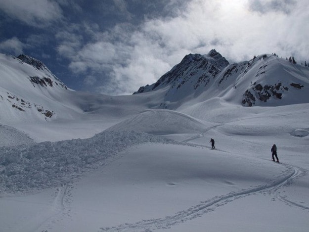
Photo: Avalanche researcher Pascal Hagaeli is also an avid backcountry skier. Photo by Alec van Herwijnen.
The main focus of the research is a project that will track ski guides with several heli- and cat-skiing outfits in B.C., including CMH Revelstoke and Selkirk Tangiers Heliskiing. Guides with those companies are being equipped with GPS devices so researchers can see what runs they opened that day and what they actually skied. That information can be then be related to the avalanche conditions for that day.
"The operators have well established procedures how they assess conditions and how they document their process," said Haegeli. "That provides a nice environment for doing this research."
He hopes to eventually expand the program to recreationalists and other backcountry operations. "That would allow us to see what are the differences, where are the strengths and weaknesses of people, so we can start to look at developing tools that target existing users," he said.
Klassen, who is one of the guides carrying a GPS this winter, said the research is an extension of the work that went into the Avaluator. In that case, guides were surveyed to see what kind of terrain choices were made depending on conditions. The research at SFU will take that to next level.
"What it's doing is it's creating an expert database that will help inform when it is reasonable to be in what kind of terrain," he said. "There's certainly days where it's perfectly reasonable to go into very steep, very aggressive terrain. It's just a matter of deciding when that time is."
Haegeli is working with with one Masters student, one PhD student, and one post-doctoral student who is also a ski guide. They will be publishing research over the course of the next five years and are also working to turn the research into practical products.
Haegeli hopes the research will eventually lead to detailed terrain guides for backcountry users. He spoke of the Avalanche Terrain Exposure Scale, which currently divides terrain into simple, challenging and complex areas, and said he hopes that could be extended to develop maps that are condition dependent. Those maps could be accessed by the user when they head out.
"If we have a persistent slab that we know is in certain areas, maybe we can come up with maps that would take that into account," he said. "How exactly those products will look like is unclear at the moment. It depends on the results that we get."
Klassen said the tracking could lead to a baseline that could be used by recreationalists. They could get an idea of what a professional would ski that day, then make their own terrain choice based on their own risk tolerance.
"In a perfect world you'd be able to look at your device and see what a professional would do in these kind of conditions today in this kind of terrain," he said. "Would they go here or not? That would help you decide if you'd be willing to accept the risk presented on that day or not."