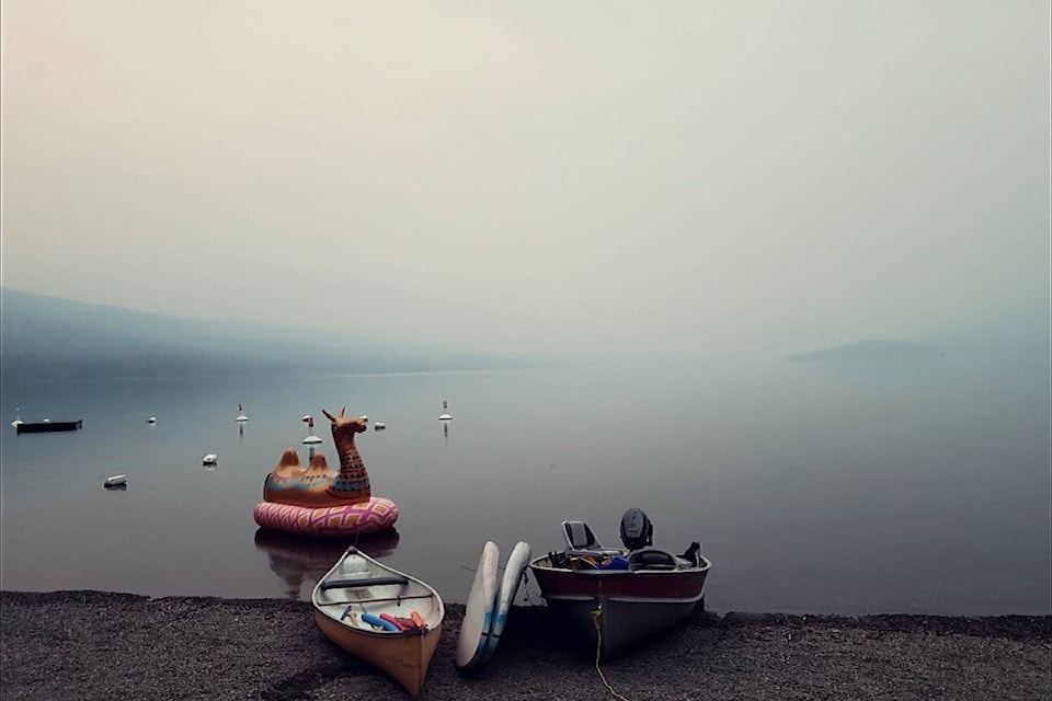
Bad news for B.C. residents who are suffering the impacts of smoke filled skies, Environment Canada is forecasting no change in the weather for the next week.
Matt McDonald with Environment Canada says the Okanagan-Shuswap can expect more of the same when it comes to hazy views and poor air quality.
“It’s like the weather is stuck on repeat,” he said. “Our online forecast is misleading as we can only forecast smoky skies for today and tomorrow and then it appears to be clear on Friday, but that isn’t the case. It’s not going to clear up.”
RELATED: Okanagan air quality at a high health risk
A ridge of high pressure over the province is acting like a cap preventing any winds from occurring and to allow for a change in the weather pattern.
If the stagnant weather continues, McDonald explained that the preliminary findings suggest this August could be the driest and hottest on record for B.C.
However we still have two weeks in August to go and McDonald stresses these findings could change.
The average temperature in August for the Central Okanagan is typically 19 C, but this month we are on track to hit an average temperature of 23.1 C.
Penticton has received no rain during the month of August, according to McDonald. The average precipitation for August in Penticton is 28.3 millimetres.
Kelowna is on track for this August to be the fifth driest on record as the city has only received about 12 per cent of the average precipitation for the month.
While Vernon is set to be marked the tenth driest on record, as the city has received about 6 mm of precipitation this month.
Thanks to a storm system last weekend in the Shuswap, the region is half way to the normal amount of precipitation for August.
If it’s possible to see through the smoke to some good news, it’s that the day time temperatures are much cooler than the start of the month.
RELATED: Heat wave sparks North Okanagan wildfire growth
“Smoke blocks the solar radiation, which is keeping things cooler due to this smoke,” said McDonald. “We will see highs of 23 to 27 C not above 30 C.”
The smoke is also helping to trap humidity in the region, which at 40 to 60 per cent assists fire crews.
Environment Canada is forecasting a possible weather disturbance for Friday evening in the southern half of B.C., near Osoyoos and Keremeos.
“We could see the odd dry lightning strike in the area as a system is moving over Washington and Idaho. But it will be nothing like last weekend where dry lightning started several fires,” explained McDonald.
So for now, prepare to get even more comfortable with the Smokanagan as this resilient ridge of high pressure resists moving.
@Jen_zee
jen.zielinski@bpdigital.ca
Like us on Facebook and follow us on Twitter.