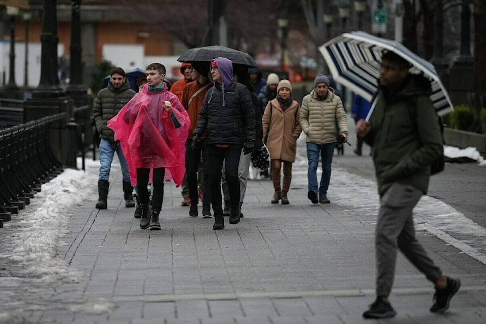
Flood watches are up for several regions of Vancouver Island and the inner south coast as another day of heavy rain, combined with snowmelt and a leap in freezing levels, could push some southwestern British Columbia waterways over their banks.
The River Forecast Centre says rivers and streams on Vancouver’s North Shore mountains and in areas around Squamish, the Sunshine Coast and much of central, east and southern Vancouver Island could exceed levels seen only every five years.
Hydrologists expect those waterways to peak by Saturday, while high streamflow advisories remain posted for rivers across north and west Vancouver Island, the Lower Mainland and Fraser Valley.
Environment Canada is maintaining rainfall warnings for east and west Vancouver Island, Metro Vancouver and the region from the Sunshine Coast to the Fraser Valley.
It says rainfall totals in the hardest hit areas of Tofino, Port Alberni and Squamish have nudged 100 millimetres since Thursday and as much as 50 more millimetres could fall in those regions before conditions ease.
A high avalanche risk now extends from Vancouver Island and the coastal mountains to southern Interior ranges north and south of Kamloops as Avalanche Canada warns the storm will also increase the chance of slides due to a multi-layered, weak and unstable snowpack.
