Forecast from Environment Canada:
Today: Cloudy. Snow beginning this morning. Amount 5 cm. Wind becoming south 20 km/h this morning. High plus 1. Wind chill minus 9 this morning.
Tonight: Snow ending near midnight then cloudy with 60 percent chance of flurries. Amount 5 to 10 cm. Low minus 2.
Tomorrow: Cloudy with 60 percent chance of flurries or rain showers. High plus 1. UV index 1 or low.
For more information see Environment Canada.
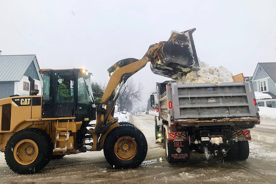
Construction and road conditions from DriveBC @ 7:30 am:
Highway 1
East to Golden: Compact snow. Slippery section.
West to Sicamous: Water pooling.
Highway 23
North: Compact snow. Slippery section.
South: Water pooling.
For more information see DriveBC.
Revelstoke Mountain Resort Snow Report @ 7:30 am:
New snow: 0 cm
Base depth: 249 cm
Season total: 846 cm
Temp on top of the Ripper: -6C
Avalanche Report from Parks Canada for Glacier National Park:
Issued Thursday
“Stubborn storm slabs need to be kept in mind touring today. Expect sun crust on steeper solar aspects.”
Alpine: Moderate
Treeline: Moderate
Below treeline: Low
For more information visit Parks Canada
Avalanche Report from Avalanche Canada for South Columbias:
Issued Thursday
“Flurries are forecast to bring 5-10 cm of new snow on Thursday. Expect avalanche danger to increase through the day as the snow accumulates and the wind redistributes the snow into reactive slabs.”
Alpine: Moderate
Treeline: Moderate
Below treeline: Low
For more information visit Avalanche Canada
Avalanche Report from Avalanche Canada for North Columbias:
Issued Thursday
“Flurries are forecast to bring 5-10 cm of new snow on Thursday. Expect avalanche danger to increase through the day as the snow accumulates and the wind redistributes the snow into reactive slabs.”
Alpine: Moderate
Treeline: Moderate
Below treeline: Low
For more information visit Avalanche Canada